Turning data into maps, decisions into action
End-to-end GIS and software solutions for municipalities, fire departments, public institutions and educational organisations.
- GIS
- Municipalities
- Fire
- Education


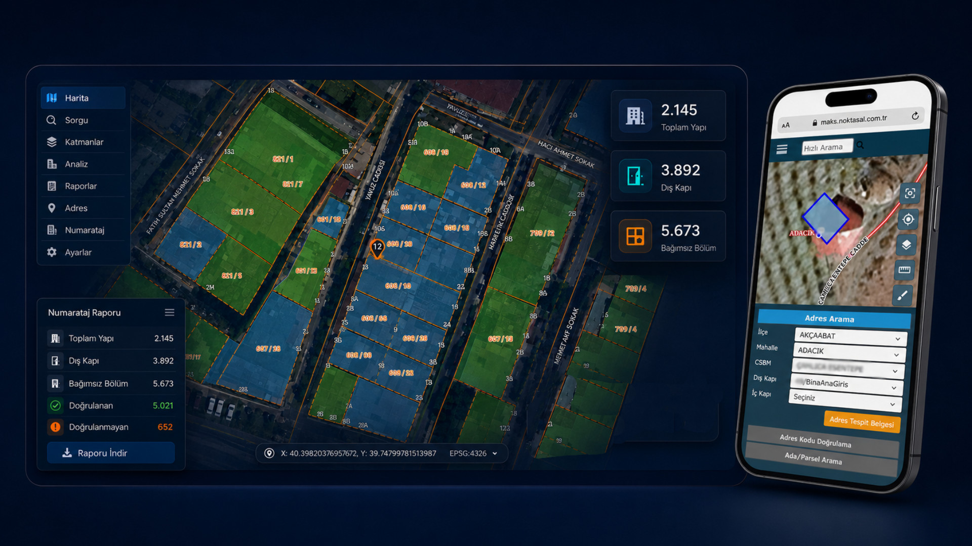
Public-sector software expertise spanning from address data to field operations.
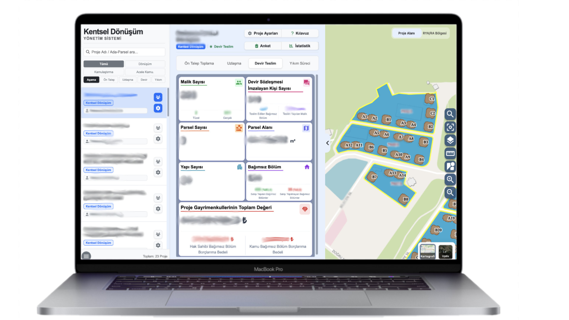
Noktasal develops enterprise software solutions for municipalities in GIS, addressing, MAKS, fire services, real estate, building permits and mobile field processes — backed by years of hands-on field experience.
An architecture that runs field, map, data and integration processes together
Noktasal solutions are built around web admin panels, mobile field apps, a GIS layer, integration services, a reporting layer and security components — designed to plug into the systems institutions already run.
Web Administration Layer
Role-based screens, process management, approval flows and department-level authorization.
Mobile Field Layer
Online/offline operation, photo, GPS, location verification, field survey and inspection flows.
GIS and Spatial Data Layer
Compatible with PostGIS, GeoServer, WMS/WFS/WMTS, TUREF/TM30 and institutional map services.
Integration and Microservice Layer
Controlled data exchange with MAKS, NVİ, TAKBİS, e-Government, internal municipal systems and third-party services.
Reporting and Decision Support Layer
Operational reports, executive dashboards, Excel/PDF exports and process-level performance indicators.
Security, Logging and Traceability
Role-based access, transaction history, user activity, service logs and KVKK-compliant data governance.
Solutions built for public sector, municipal and field operations
Noktasal products are developed around the real field needs of institutions in GIS, address numbering, fire response, real estate, building permits, education management and data integration.
MAKS Change Sync Service
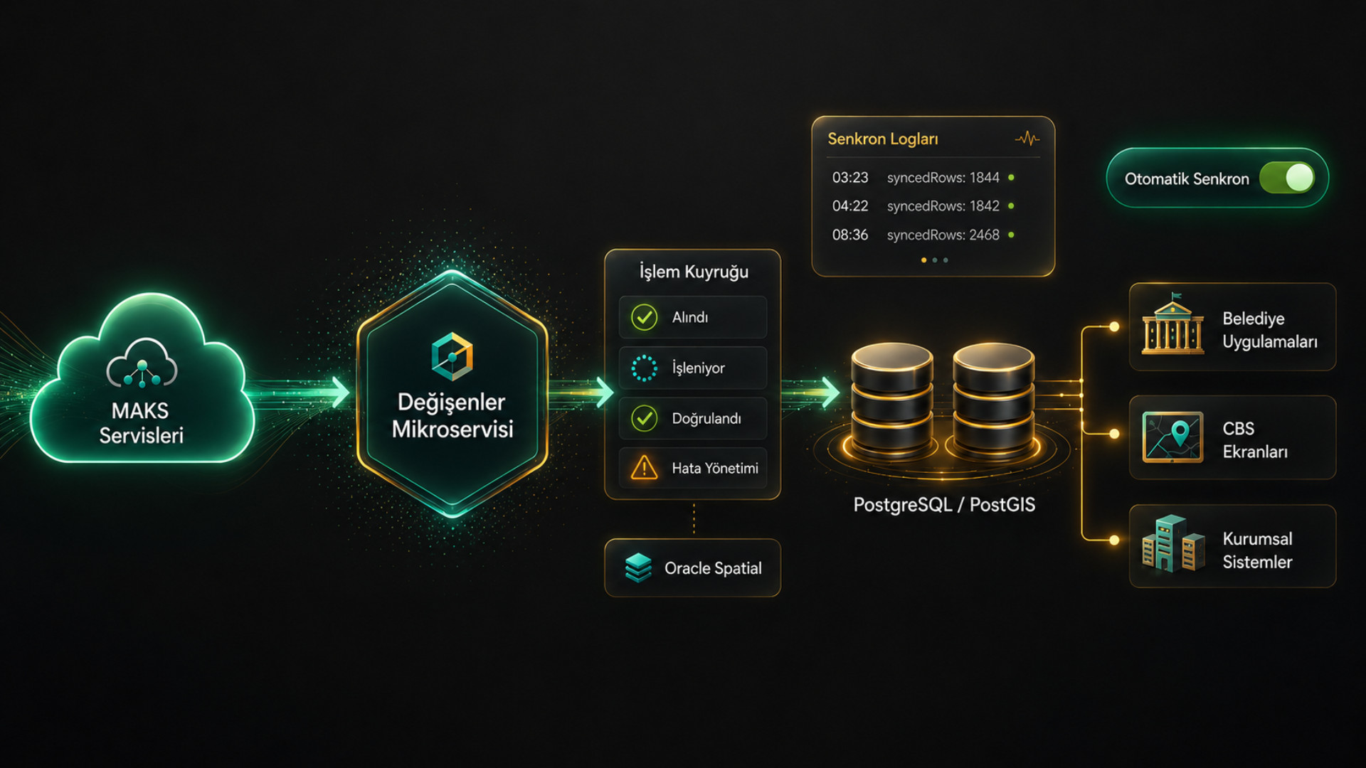
MAKS Data Synchronisation Micro-service
A micro-service that automatically tracks address, building, road, numbering and independent unit changes on MAKS and feeds them into the GIS/database systems of municipal, energy and infrastructure organisations.
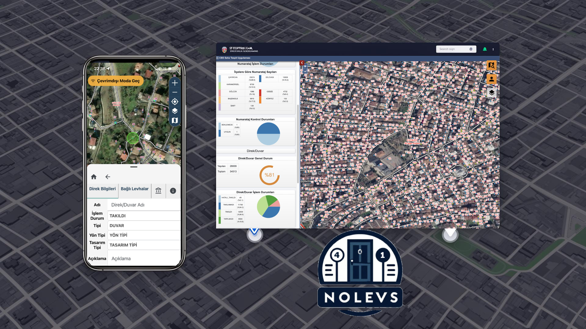
NOLEVS
Noktasal Sign Management System
A GIS-supported sign management platform that handles street and door-number signs end-to-end: requests, production, stock, field installation, maintenance and reporting.
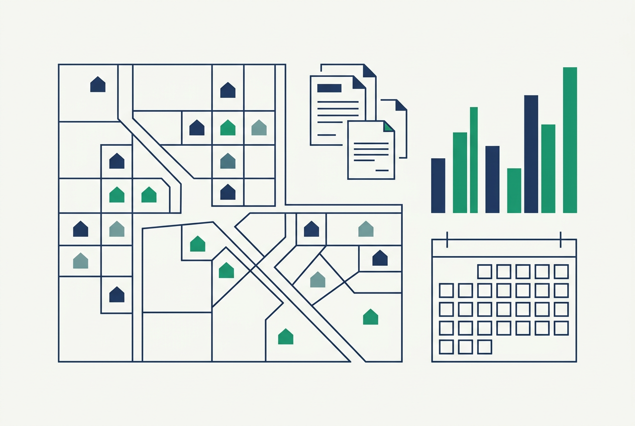
MAKS Building Documents
Building Document Management with MAKS–NVI Integration
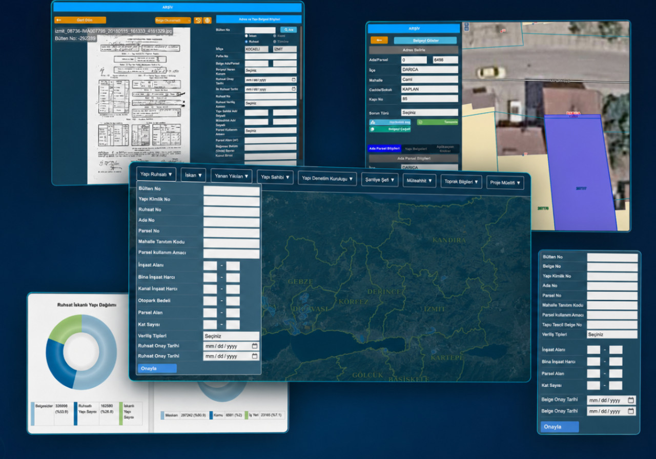
A management system that keeps municipal building permits, occupancy permits and demolished-building records current through MAKS–NVI integration, digitises legacy archives and makes construction data analysable on the map.
A technology partner that accelerates public service
With more than 20 years of GIS expertise and a public-sector focus, we build compliant, scalable and secure software. Our projects are deployed end-to-end at metropolitan municipalities, provincial fire departments and central public institutions.
Our corporate storyRegulatory Compliance
Full alignment with MAKS, TAKBİS, NVİ and audit processes.
Single Source of Truth
An integrated architecture that ends data duplication across departments.
Open Standards
End-to-end integration via OGC-compliant WMS / WFS services.
Mobile Field Support
Mobile field apps that work both online and offline.
Let's plan your institution's digital transformation together
Let our expert team assess your needs and present the right-fit solution in a dedicated intro meeting.